Ecology, conservation and sustainable use of forest patches
The objectives of WP2 are to 1) identify existing and emerging ecosystem services from forest patches, 2) ascertain the types of values people place on ecosystem services derived from forest patches and to map the values diversity, 3) expose conflicts and tensions in values held by actors, and 4) to synthesise these diverse values to inform the sustainable management of forest patches from a bottom-up (see Table 2: The work plan of SUSTAINFORESTS project).
Description: A values-pluralistic approach will be undertaken to disentangle the various roles values play in shaping the sustainability of forest patches (Pascual et al. 2017). The values pluralism approach is based on five tenets, which are adapted in this WP (Pascual et al. 2017): 1) identification of values assessment purpose, 2) delimiting the boundaries of the assessment (e.g. scale, location), 3) performance of the assessment, 4) synthesis of values dimensions, and 5) communication of results to stakeholders to improve ecosystem management. As SUSTAINFORESTS adopts a formative research approach that engages with stakeholders from the outset of the project, communicating results to stakeholders will involve a continuous process of engagement through regular feedback loops, periodic dialogue workshops, and discussions with key stakeholders. Mixed methods will be used to gather data at the various study sites, as described in the following tasks:

Spatio-temporal dynamics of forest patches
WP1 has two goals: (1) develop an inventory map of the forest patches, and (2) conduct an in-depth spatiotemporal and ecological characterisation of selected forest patches. The inventory map (goal 1) will serve as a basis for selecting sample forest patches for subsequent in-depth investigation in goal 2 and in WP2–WP4.
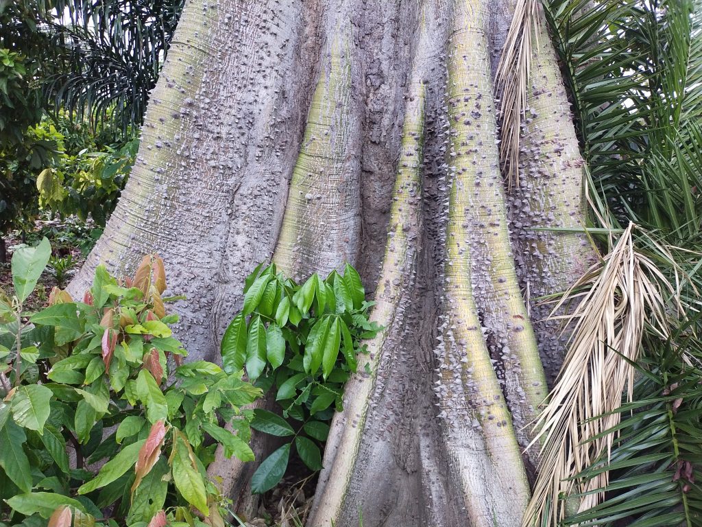
Description: This part will first establish the baseline data for subsequent analysis within WP1 and the other WPs. It will employ remote sensing data with field measurements to map forest patches in line with our definitions of forest and forest patches in agricultural landscapes (see Box 1). Google Earth Engine cloud-based, georeferenced, multitemporal satellite images for 2019/2020 will be used for mapping the present locations and distributions of forest patches according to Hansen et al. (2013). Acquisition time will focus on cloud-free periods when forest and other land-cover classes of interest are most visible. Past studies have mostly used Landsat images for studying parts of the region (Badjana et al. 2015, CILSS 2016). Focus is often placed on forests with protected status but not on fragmented agricultural landscapes or on including countries such as Nigeria, which is experiencing the highest rates of rainforest loss in West Africa.

Livelihoods, biodiversity and ecosystem health
WP3: Understanding context and framing conditions determining land use in agricultural landscapes (RQ3)
WP 3 aims to identify the key social–ecological components of the forest patches and their surrounding agricultural landscapes, and the key drivers affecting interactions and feedback in the system. Data collected in WP2 about respondent perspectives on land use trends, ecosystem services from the forest patches, and sociocultural contexts underlying the management of the forest patches will inform prior analysis for structuring the participatory workshops. Box 7 shows the main steps to be followed in carrying out WP3 and WP4.
Description: To determine how ecological, socioeconomic, political, and institutional factors and conditions affect land use and the agency of land users, SUSTAINFORESTS will apply fuzzy cognitive mapping (FCM) in participatory workshops with stakeholders in each of the study cases. FCM is a system-dynamics model that has been applied to capture stakeholder perspectives on landscape change and their drivers (van der Sluis et al. 2019) and on resource management strategies (Gray et al. 2015). FCM’s participatory character enables it to capture stakeholder perspectives in a way that provides a basis for planning and social learning (Gray et al. 2015).

Governance and sustainable use of forest patches
WP4: Towards sustainable landscapes (RQ4) – Pathways to sustainable land use in fragmented agricultural landscapes
WP4 examines how the forest patches in the agricultural landscapes can be sustainably managed (See step 3, 4 and 5 in Box 7). Synthesised information from the WP3 will be fed into the system dynamics models. System dynamics modelling provides insights into the behaviour of a system (Videira et al. 2009, Hossain et al. 2017) and aims to 1) capture feedbacks, interactions, and nonlinearity among system components; 2) integrate data on actors’ visions from the participatory scenario workshops; and 3) explore the pathways to more sustainable use, management, and governance of forest patches. The system dynamics model will be iteratively developed (Step 3.1) using the simulation software STELLA® or Vensim®. Data from WP1, WP2, and WP3 (Step 3.2) will be used to develop and parameterise the system dynamic model before exploring plausible scenarios to capture and explore pathways (Step 4) to sustainable land management in agricultural landscapes.
In general, three questions are to be addressed in exploring pathways to sustainable land use and management: (1) What are the plausible future socioeconomic and ecological consequences of the present status and practice of forest patch use and management for the host communities? (2) To what degree do these consequences differ depending on the size and ecological characteristics of forest patches and the type of ecosystem services they provide? (3) What are the implications for the sustainable management of forest patches within agricultural landscapes?
Scenario analysis is often used in forest management to envision how the future might look and to account for uncertainties (Mohren 2003). WP4 engages local actors in a participatory process to integrate the impact of sociocultural dynamics in the forest host communities in plausible future scenarios for the sustainable use of forest patches. The study focus is on forest patches within agricultural landscapes. Therefore, the opinions and conclusions derived may not apply to other types of large expanses and fragmented forests. This may be a potential limitation to generalising the findings of the project.